Maps are artifacts that represent a physical space fixed at one point in time. Taken individually, they tell us how to get from one place to another. They provide a view of place unattainable from the ground and give us a unique perspective and orientation. Compared with one another, maps trace the changes in our physical world. Buildings come and go, or their uses vary with the changing times. The landscape also changes as new roads are built and fields are turned into golf courses or parking lots. In this post we’ll look at some examples of campus maps from our University Archives drawn by members of the university community.
Several maps of campus used in official publications were drawn by female students and alumnae of the university. These maps were used primarily in publications such as the course catalog, handbook, and brochures. These official publications would represent the university not only to its students, but to the public. Because of this, the maps had to be of high quality. Three examples of these are presented below, along with photographs of the cartographers.
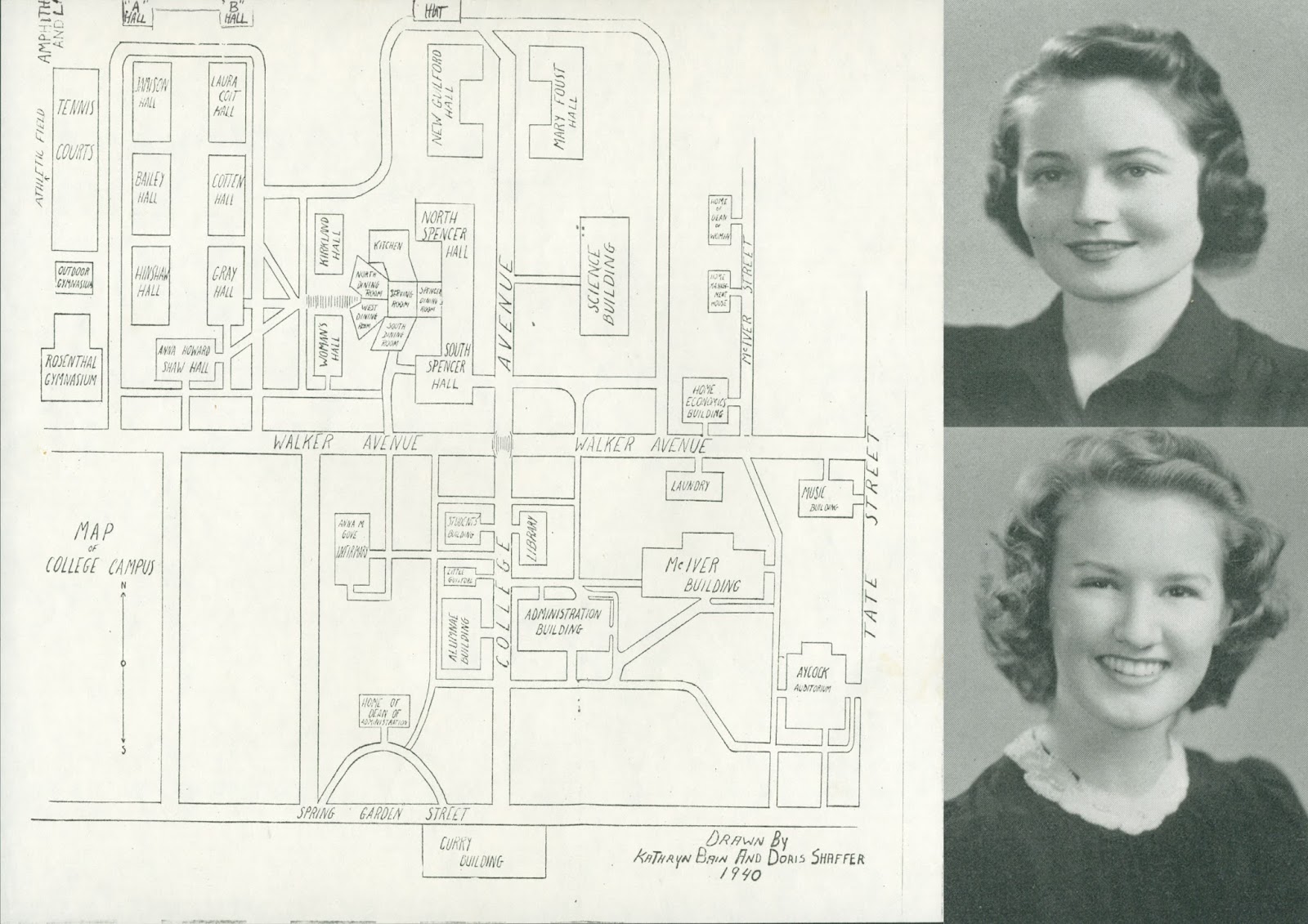 |
| This 1940 map of the Woman’s College of the University of North Carolina campus was drawn by Kathryn Bain (top, p. 34) and Doris Shaffer (bottom, p. 74), both Class of 1941 students |
 |
| This 1957 map of the Woman’s College of the University of North Carolina was drawn by Henriette Manget Neal, Class of 1945 (p. 179) |
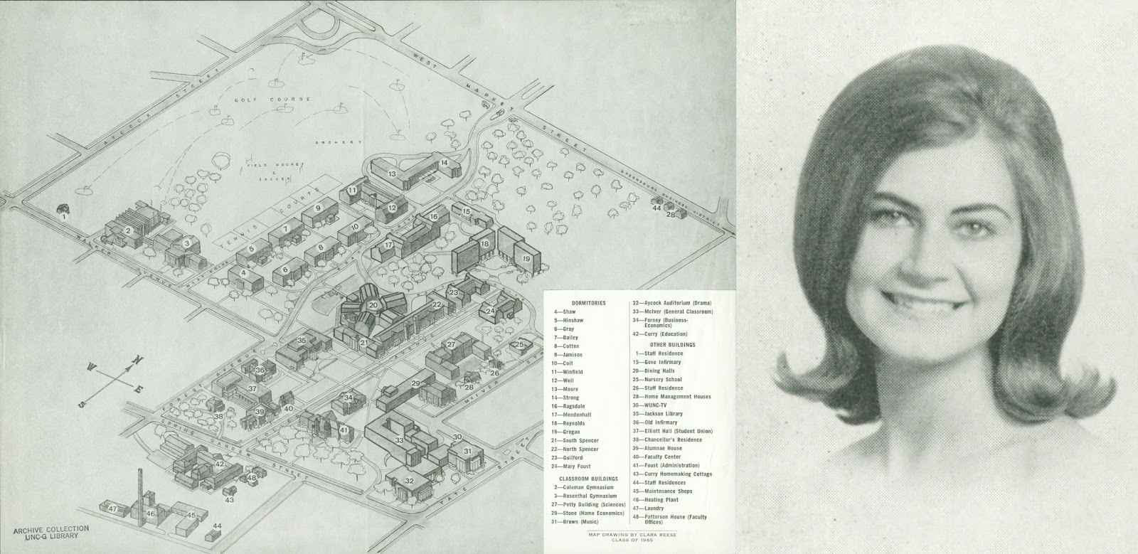 |
| This 3D 1965 map of the Woman’s College of the University of North Carolina was drawn by Clara Reese, Class of 1965 (p. 180) |
We’ll explore more campus maps from our collections in a future Spartan Stories blog!
By Scott Hinshaw